It takes us about three hours to complete this loop. This time includes stopping for photos, a few water breaks, and a lunch break up at the Bridge. You could do it faster if you took no photos and never stopped. However, you may also take longer. This is a VERY scenic trail with several dozen tempting places to stop to look at things. It is also a demanding trail physically. There's a lot of climbing and navigating tight turns, narrow pasaageways and low overhangs. So you should allow three hours the first time you try it. Because it crosses open ridges, exposed points and rock crossings which are slippery when wet, it would not be a good place to be caught in bad weather. If the sky looks threatening, or if it rained all night last night, you might want to postpone this trip til another day.
|
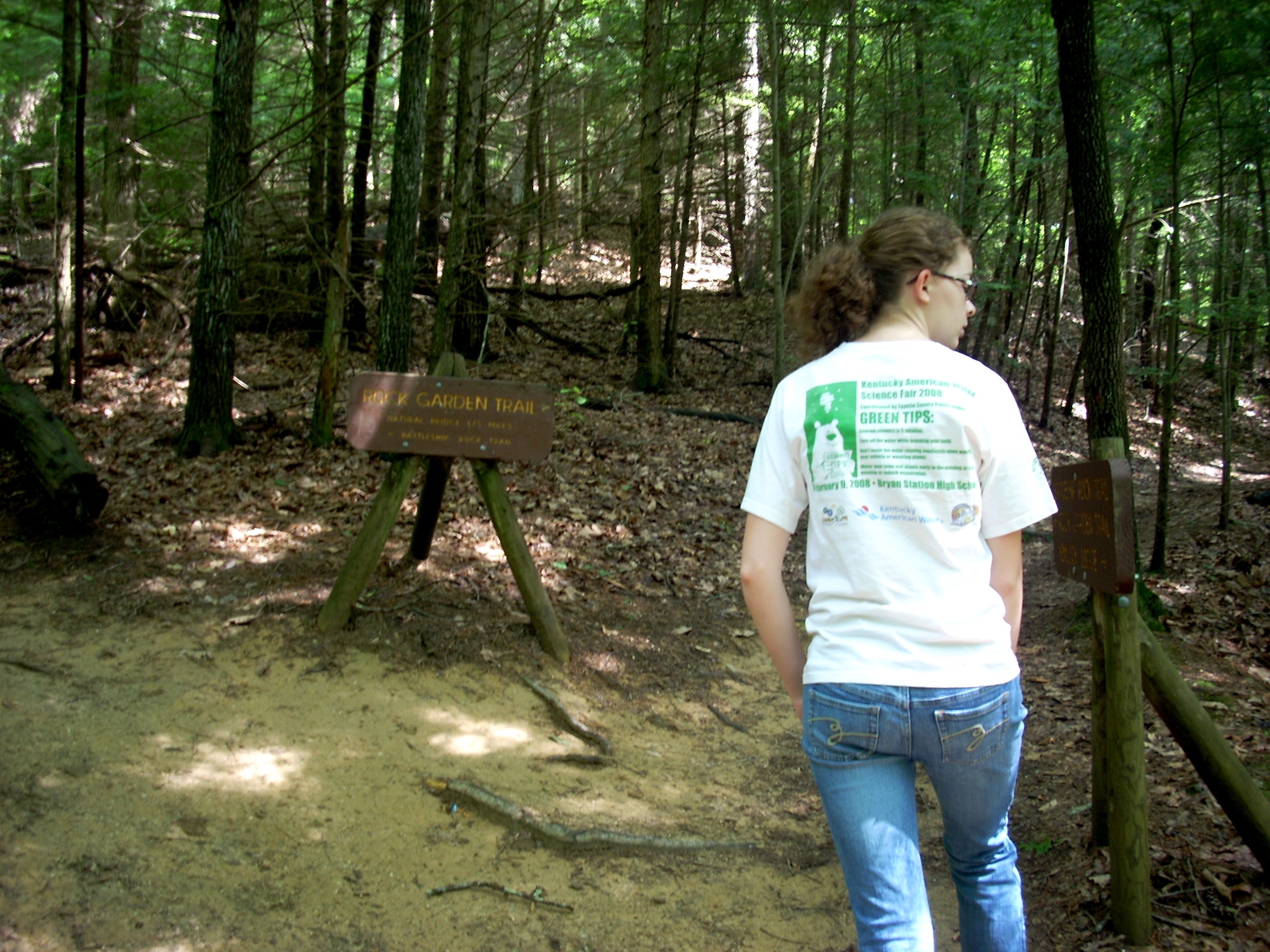 |
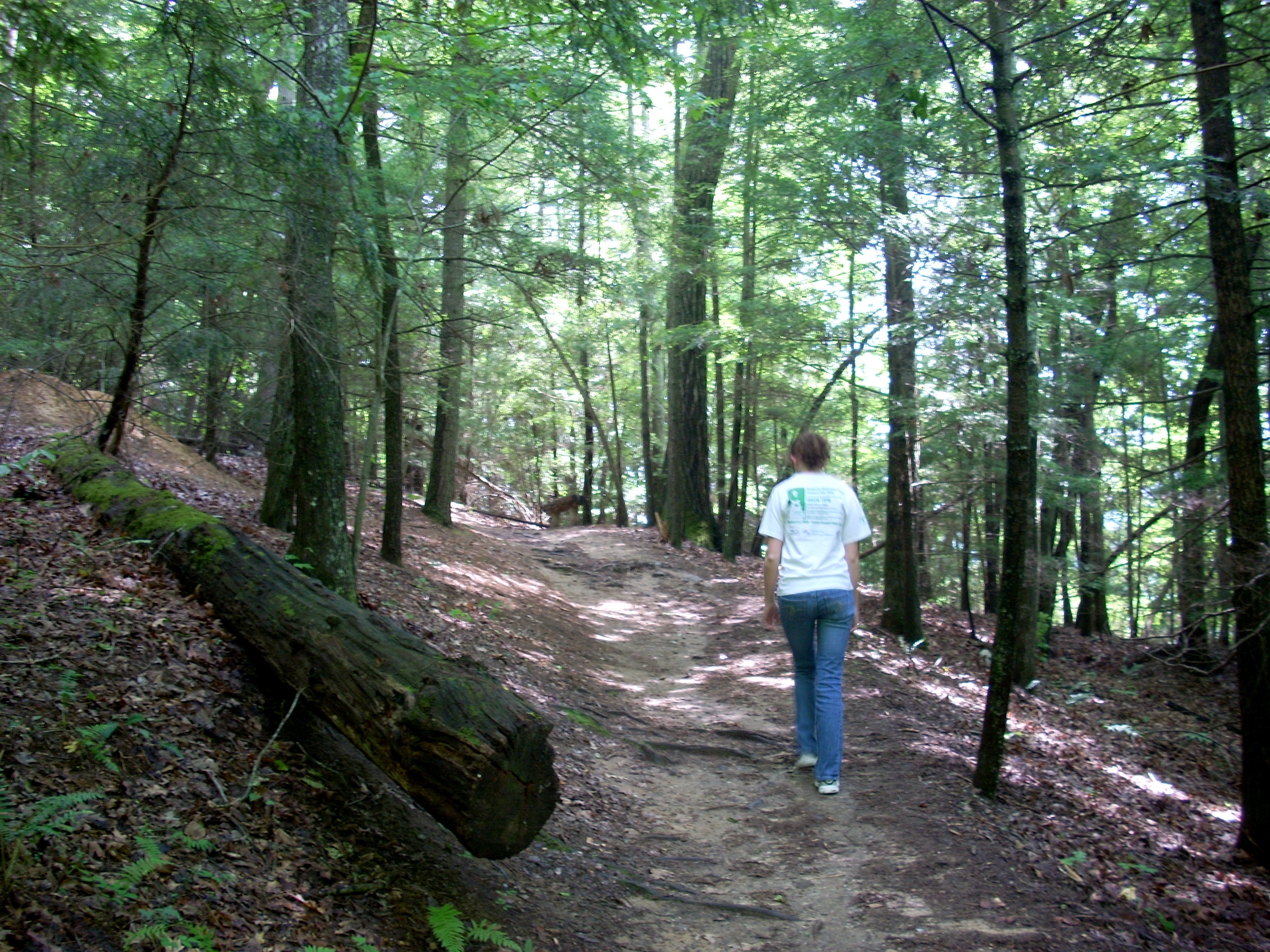 |
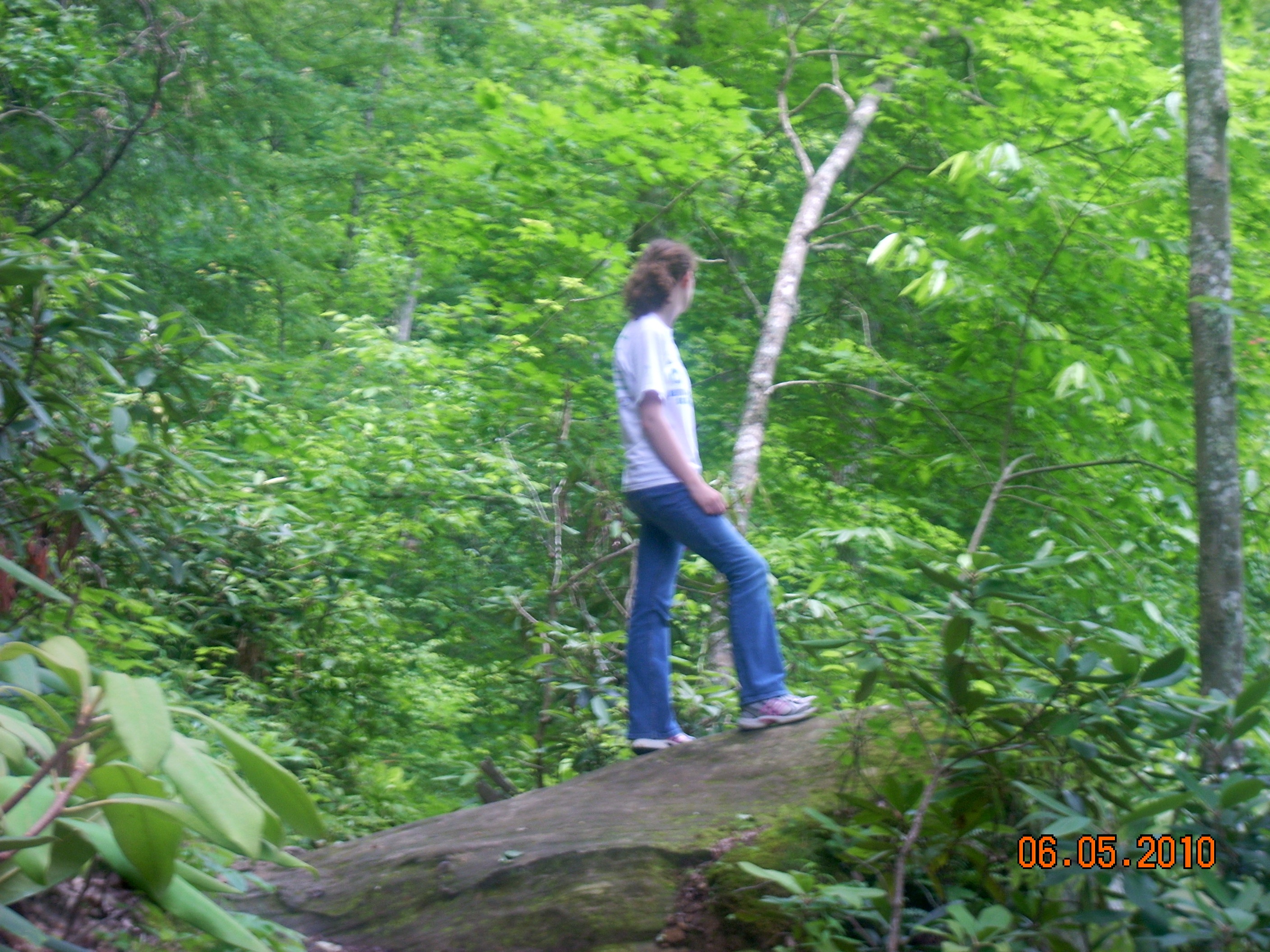
The trail traverses an astonishing variety of zones. You begin in a North facing forest of mostly Maples with some Oaks and Hickories. In the photo at left, you're above Hemlock Lodge. The difficulty of this trail discourages most hikers, so there is not nearly as much traffic. One of the results of this is that you'll see and hear far more animals, especially birds, lizards, salamanders, and small mammals.
You should prepare to immerse yourself for 2-3 hours in an astonishing visual splendor. Hollywood could easily have filmed The Hobbit or any other fantasy here. Bring extra batteries for your camera. |
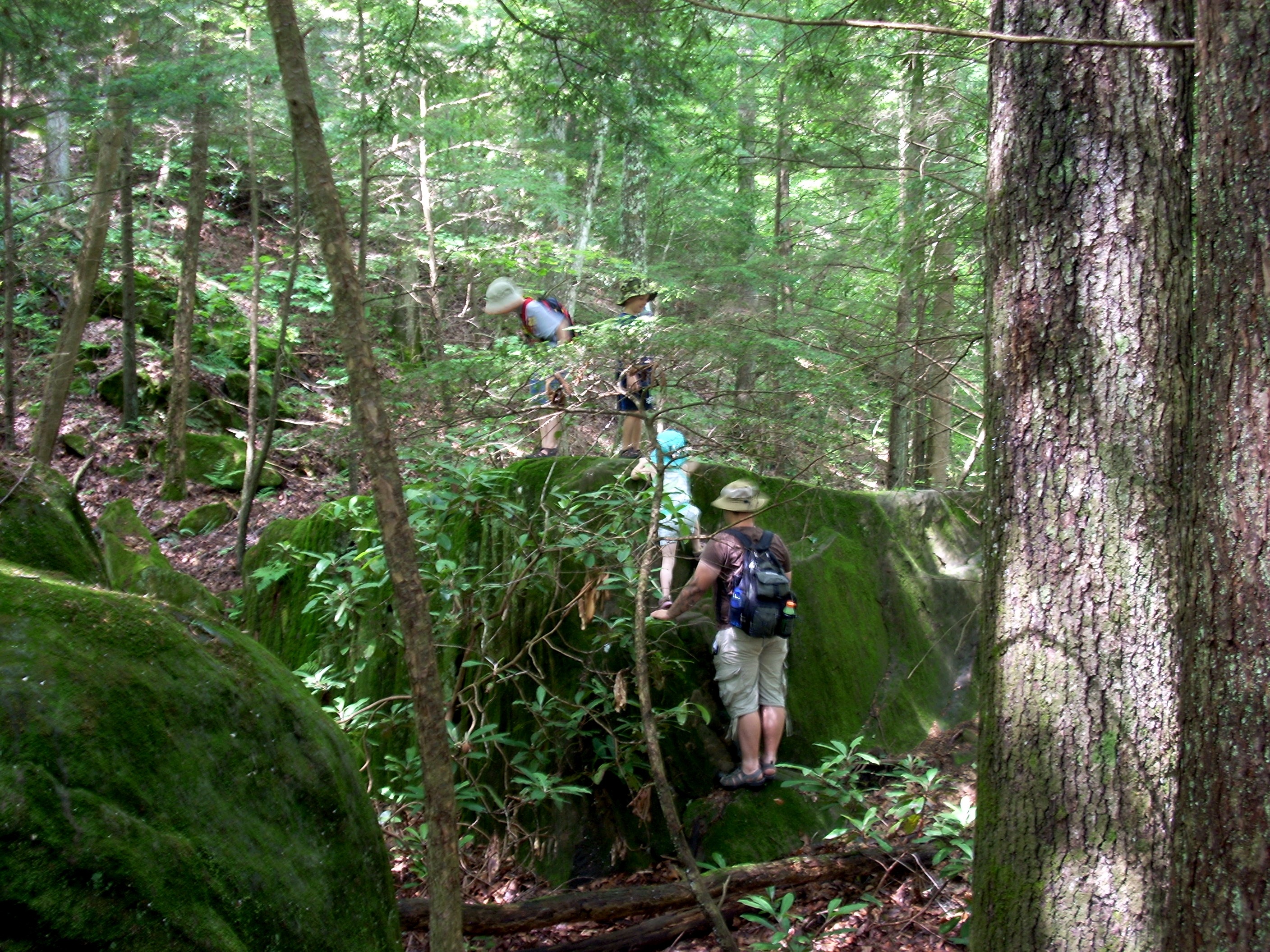
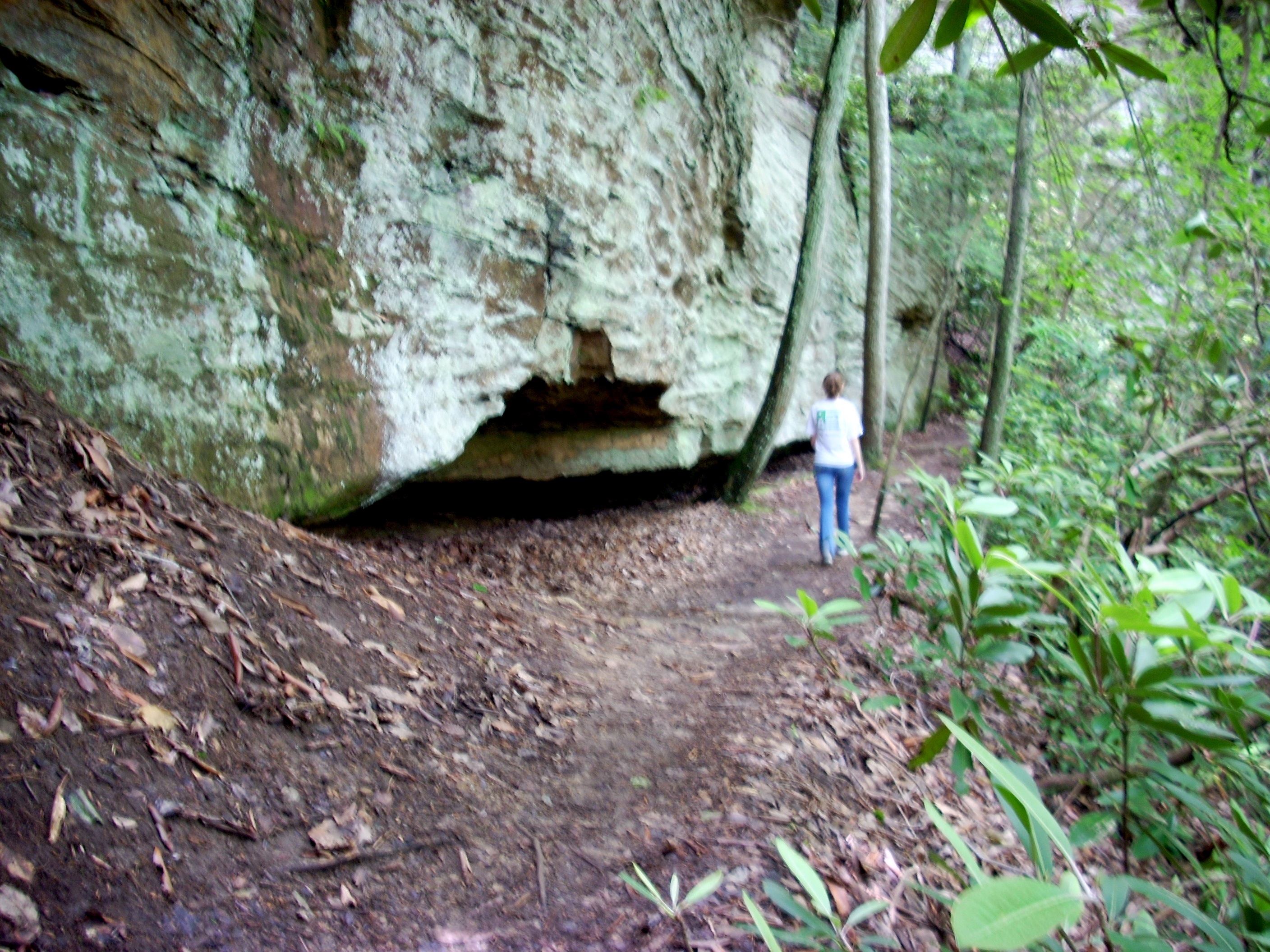
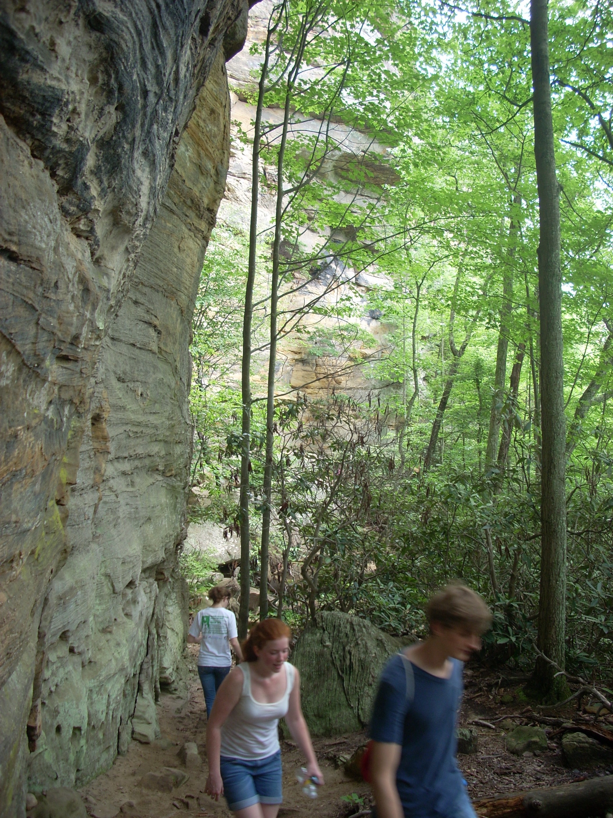
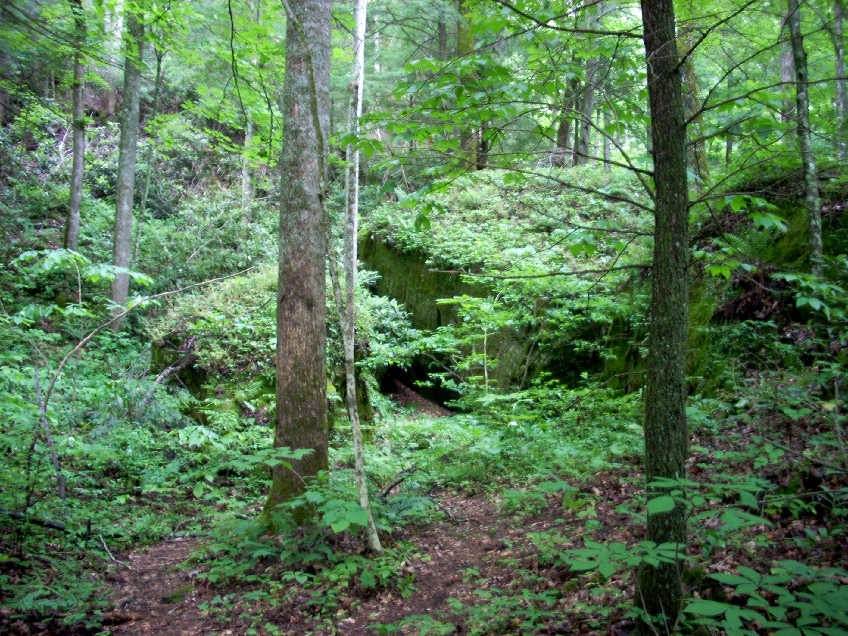
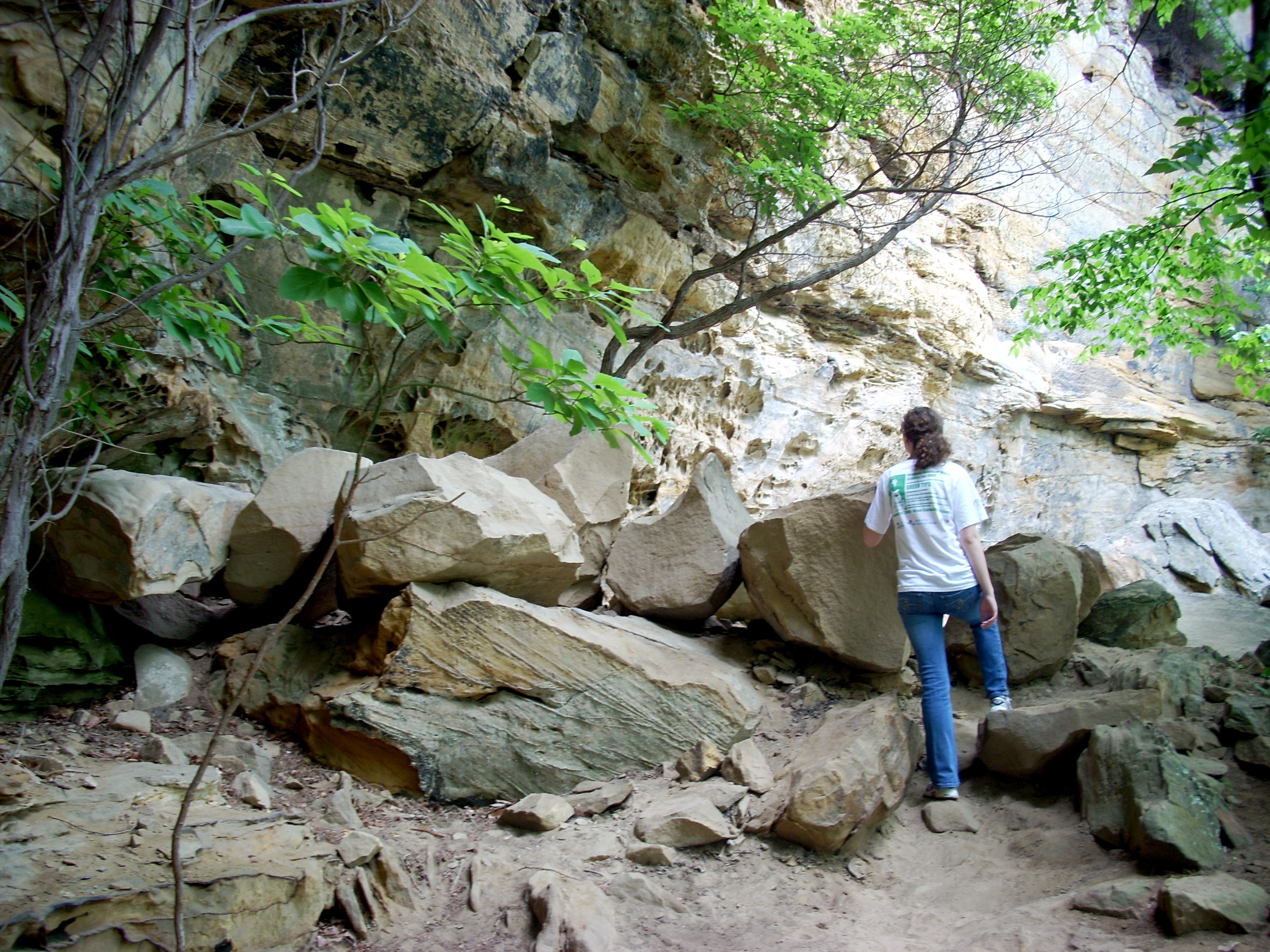
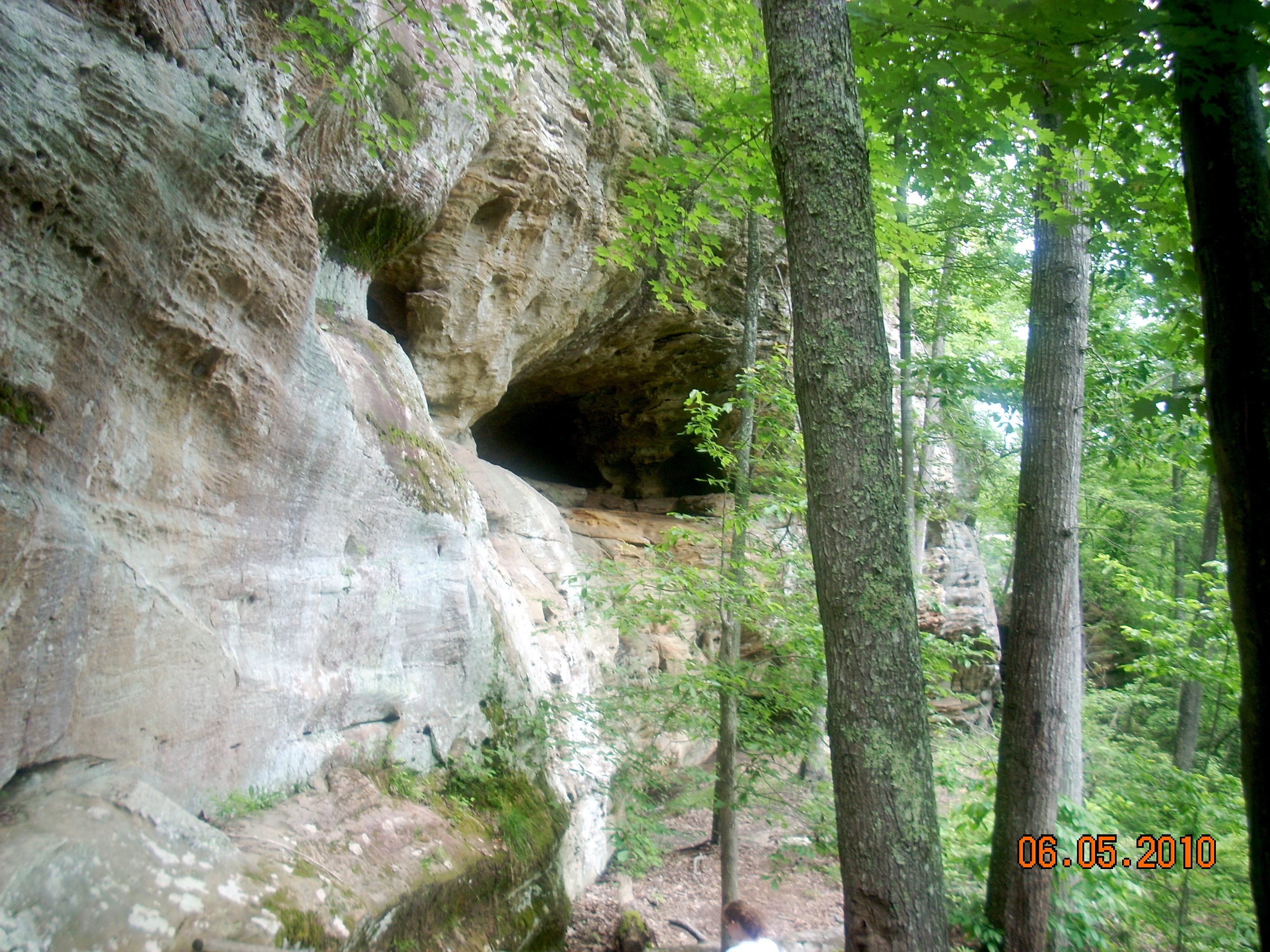
| Sheer cliffs tower above you to the left. Over several thousand years, huge boulders the size of cars and houses have broken off and tumbled down, to be claimed by mosses, ferns, vines and trees. Some of these rocks practically demand to be photographed, climbed on, or at least closely inspected. The trail winds between these boulders, which accounts for the "rock garden" term. There is a LOT of water flowing through this zone, especially after a rain or in a period of frequent rains such as April and May. Small streams work their way down the slopes, and waterfalls and seeps descend the cliffs and rocks. This is a small pocket of Temperate Rainforest. It is a great place to photograph or study Ferns, Mosses, Liverworts, Salamanders, and other moisture loving life forms. But you also need to watch your step. There are a lot of slippery rocks and logs and mud that are part of the trailbed. If you're wearing sport shoes with fabric sides you're probably going to end up with wet socks and feet. With a good pair of hiking boots you'll have no problem. |
 |
 |
Suddenly you round the far Western point of the ridge and start climbing. As you climb and round the point, you find yourself in a much drier and sunnier zone. The Maples, Oaks and Hickories become far fewer and Rhododendrons and Pines dominate. Salamanders will be replaced by Fence Lizards, the Kentucky cousin of the Texas Horned Frog. You'll see them scampering on trees and rocks, but they're quick and clever and as you walk the trail they'll circle the tree to keep out of sight. Watch ahead of you to see them basking in patches of sunlight.
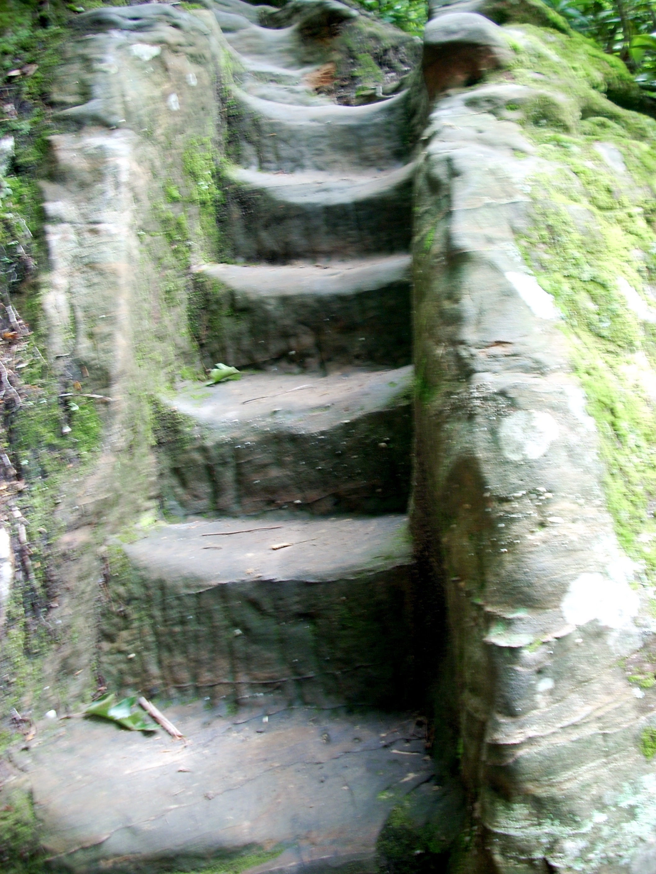
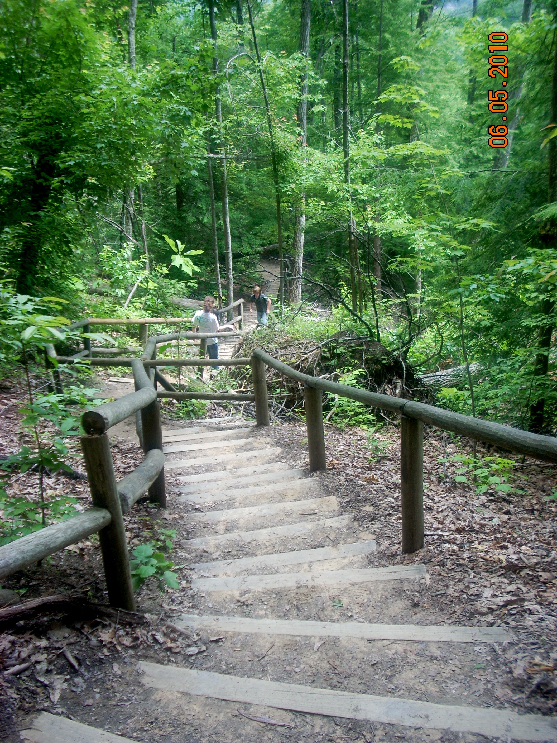
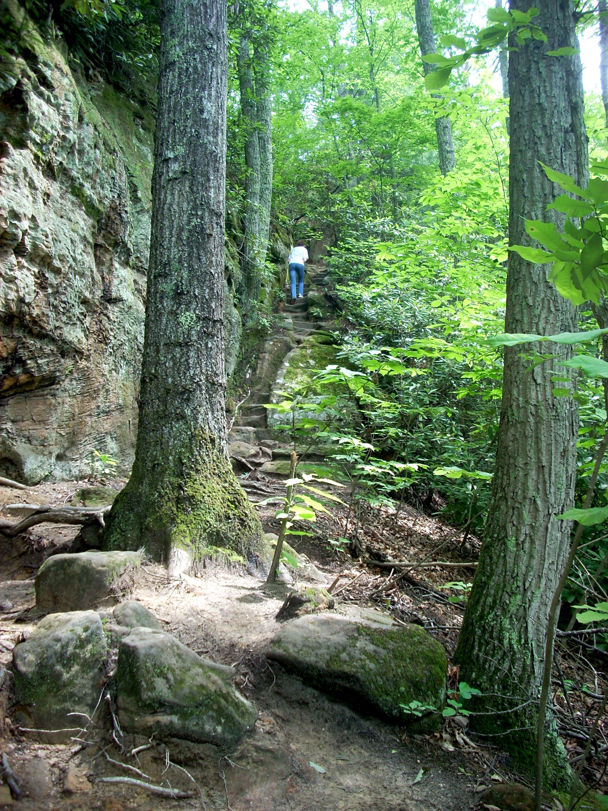
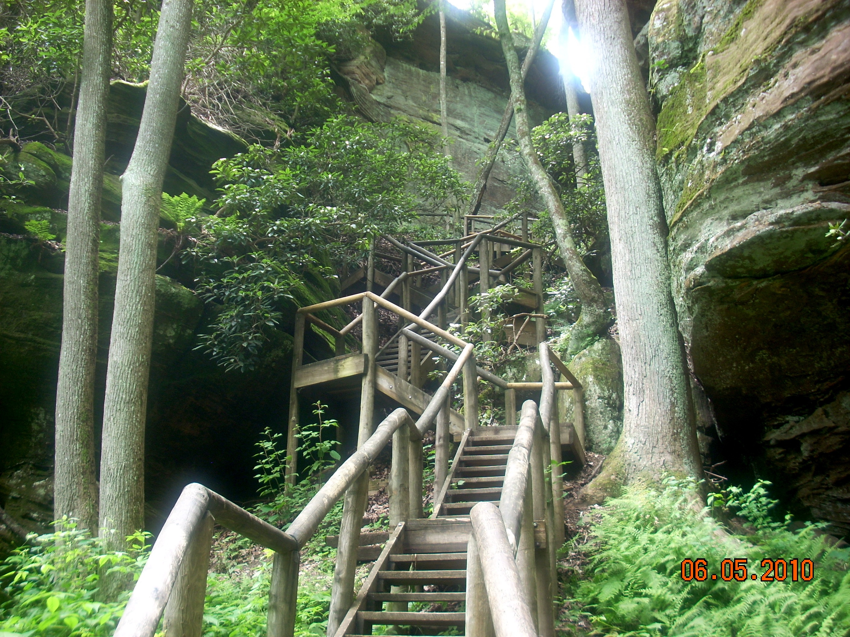
But there's something else to marvel at here. This trail is a monument to the Civilian Conservation Corps. Their carving these thousands of steps out of the rocks and cliffs is an achievement we do not honor enough. For 70 years people have trod these staircases and although the steps show the wear of hundreds of thousands of footsteps, they survive. At least, a statue or placque should be erected commemorating these men and their work.
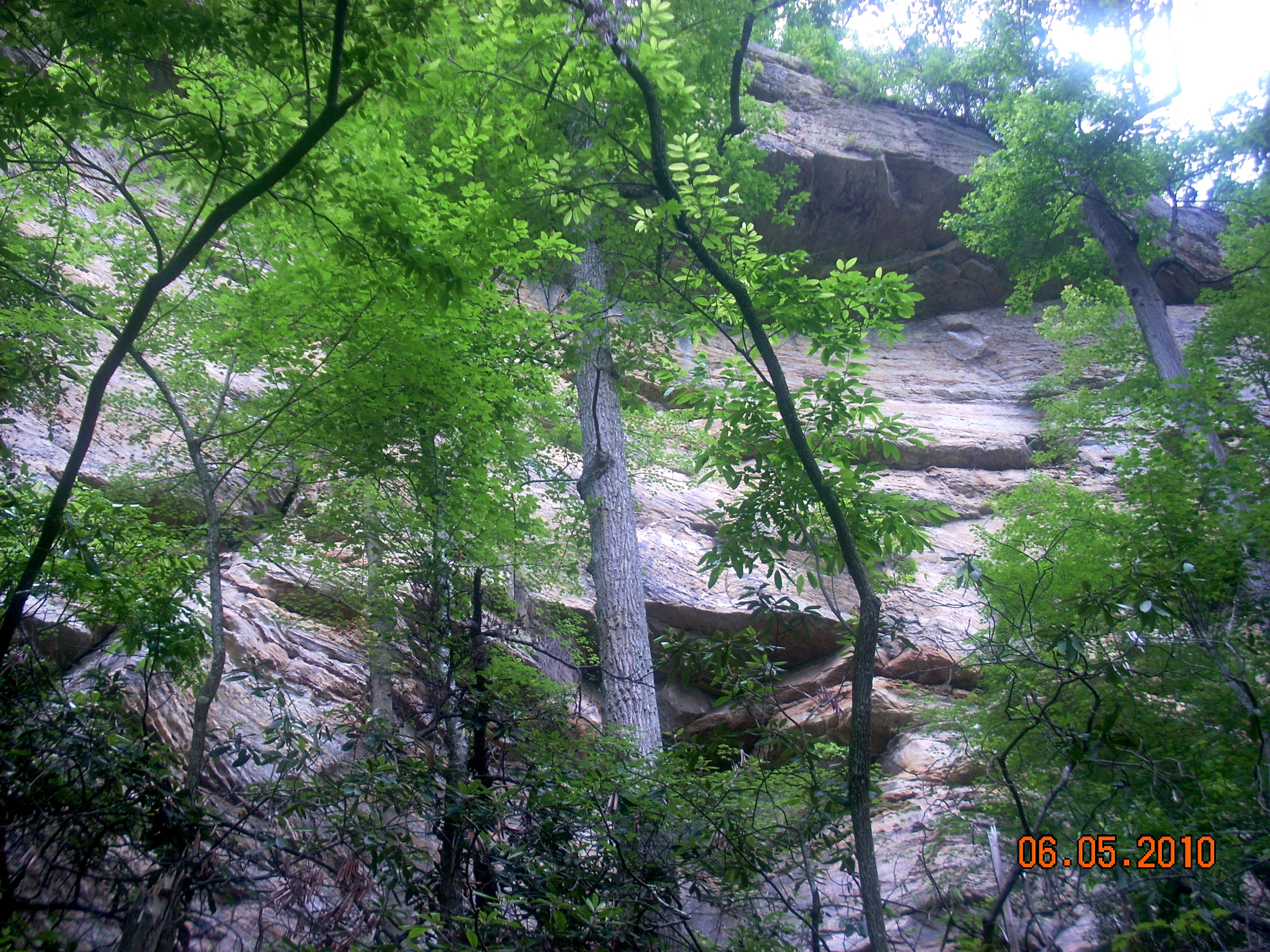
As you climb, alternating stone staircases and level walks along spectacular cliffs, you get a real education in geology. A middle or high school earth science teacher or Scout leader could teach a whole course in Sedimentary Geology on this one trail. |
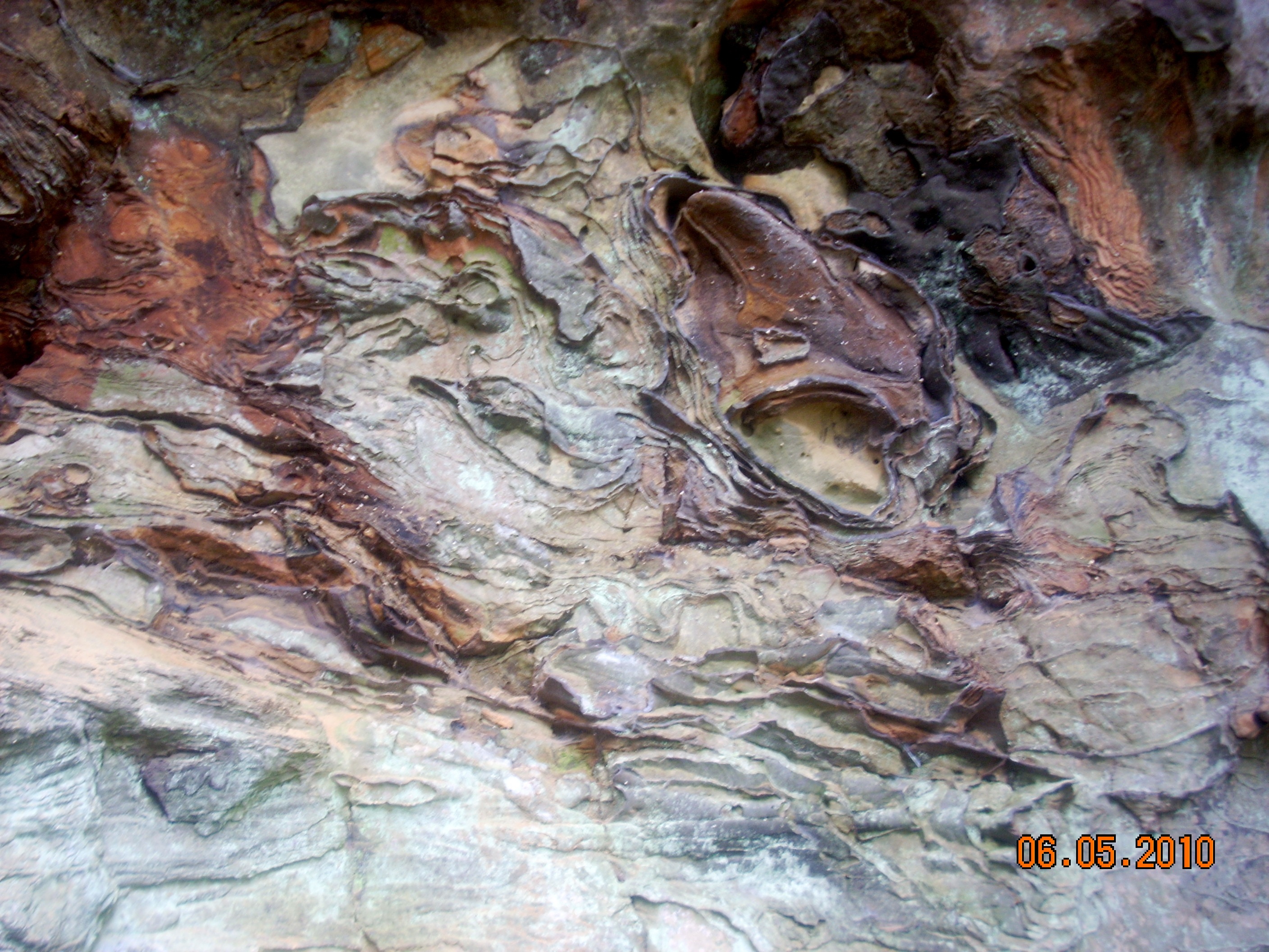 |
The rock faces on your left reveal the classic Kentucky Iron Rings, the dark brown edges visible here. There was enough high quality iron ore deposited in these rocks to inspire a brief iron industry here. Especially South of Natural Bridge, in Estill County, old iron furnaces still stand. For two decades men extracted iron from these deposits. It was very high quality. Unfortunately, it was in very low concentration. As other iron ore deposits with much higher concentration were discovered in Pennsylvania, Alabama and Minnesota, they proved to be more economical to extract, and Kentucky's Iron Era drew to a close. Today, we admire the iron deposits for the random designs they create, but they no longer have any financial promise. |
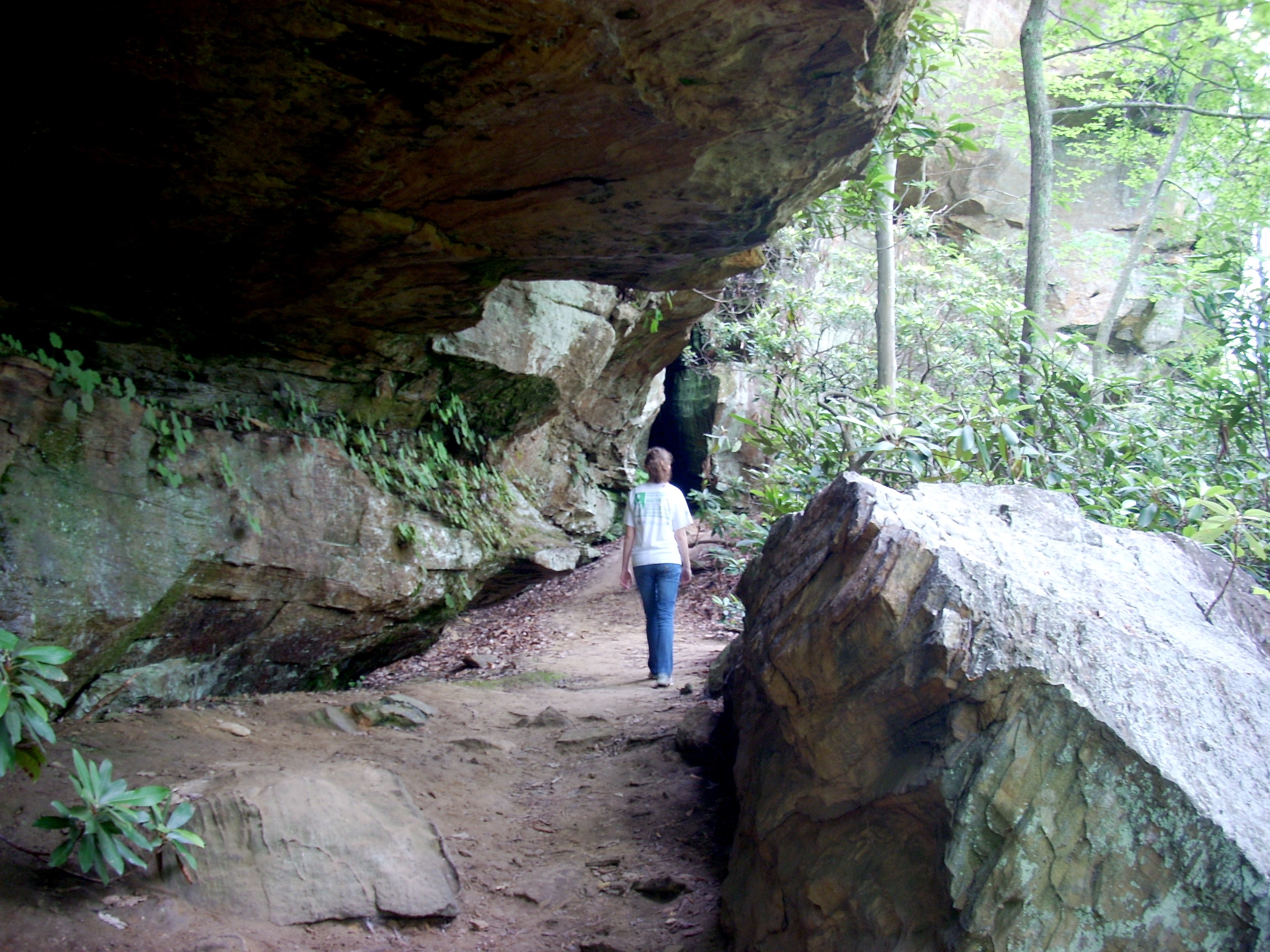
| The outer edge of The Bell Jar, a long famous trail formation. You have to crouch to get past this overhanging lip. All these cliffs and rocks are sandstone, so water running down and seeping through for thousands of years have created numerous bizarre shapes. But regardless of the shapes, you can always see the deposit layers, visible here at right. |
 |
 |
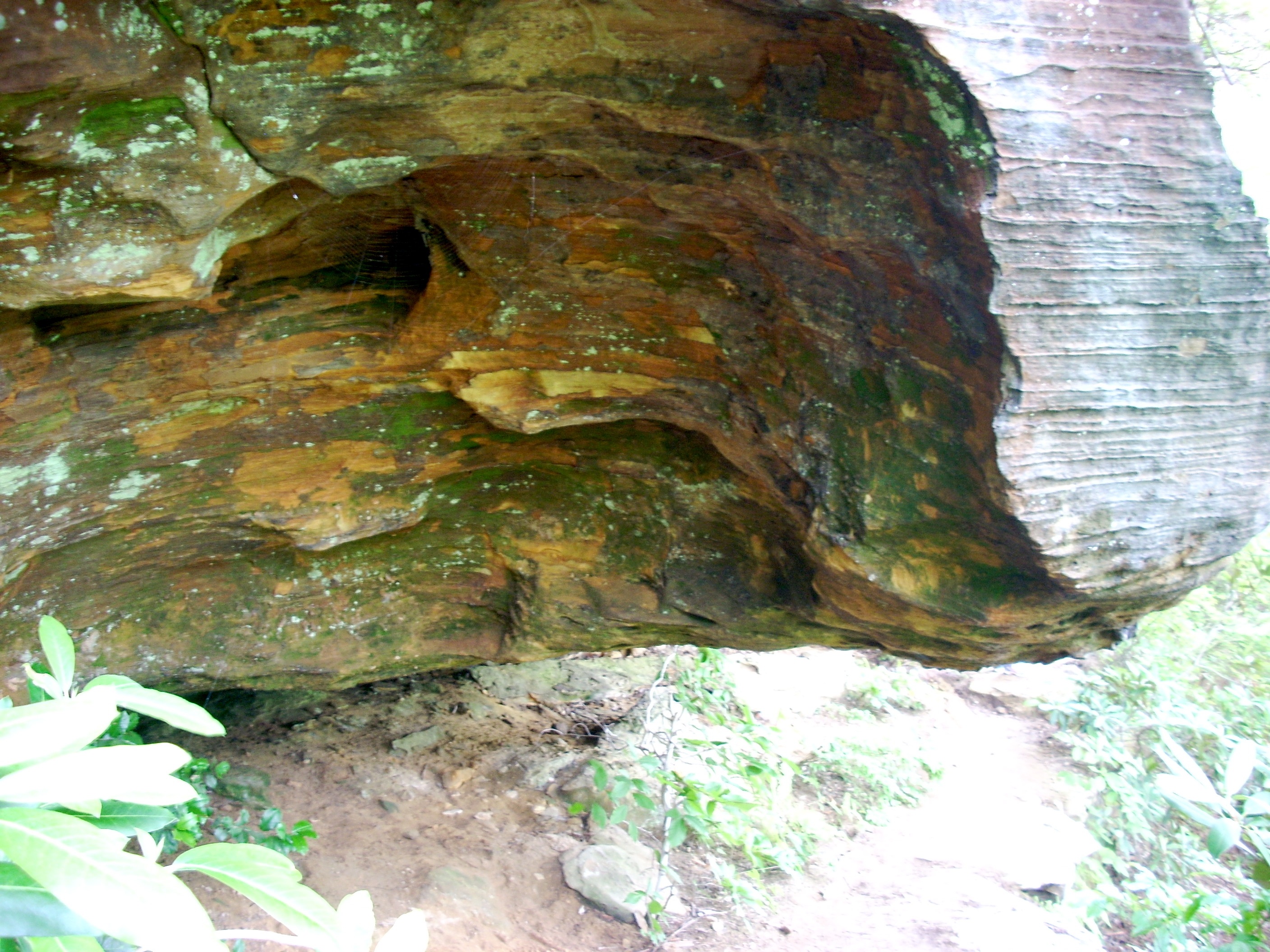
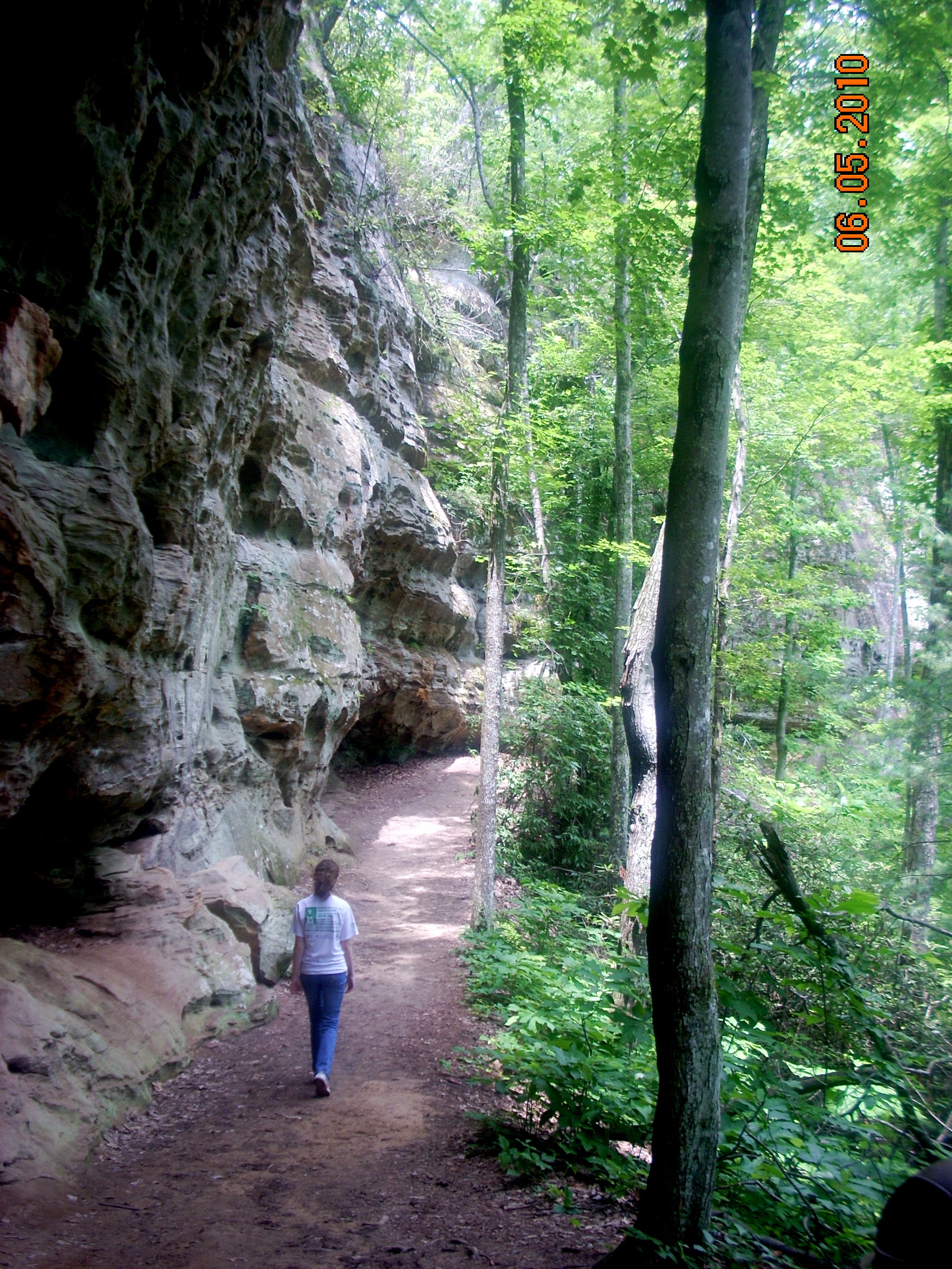
The trail winds through weird arrays of fallen rocks and passes large rock shelters in the cliffs on the left. Archaeologists have determined that these shelters were occupied by the Adena Indians for several thousand years. They preferred the high cliffside dwellings for safety and security, hunted the surrounding forest for game, and farmed the level areas down in the valleys, which they kept clear by annual burnings. |
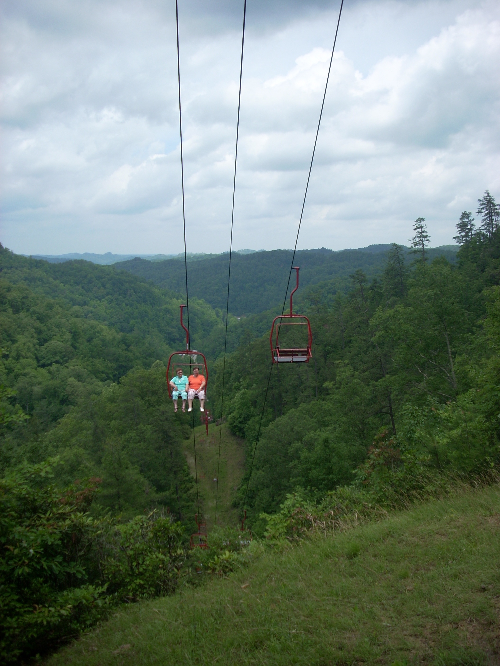
| As the trail nears the top, you pass under the Sky Lift, a ski lift that for decades has brought people up to the Bridge who are either unable or unwilling to hike it. The lift has its own parking lot. To reach it, turn right instead of left as you drive in the main entrance. Round trip tickets cost $9, although many people ride up and hike down. The lift does not bring riders to the Bridge itself. They come out at the point of the ridge, then hike half a mile to the Bridge. Each chair on the lift carries two passengers. The ride up takes about 10 minutes. It's a leisurely experience with spectacular views. |
 |
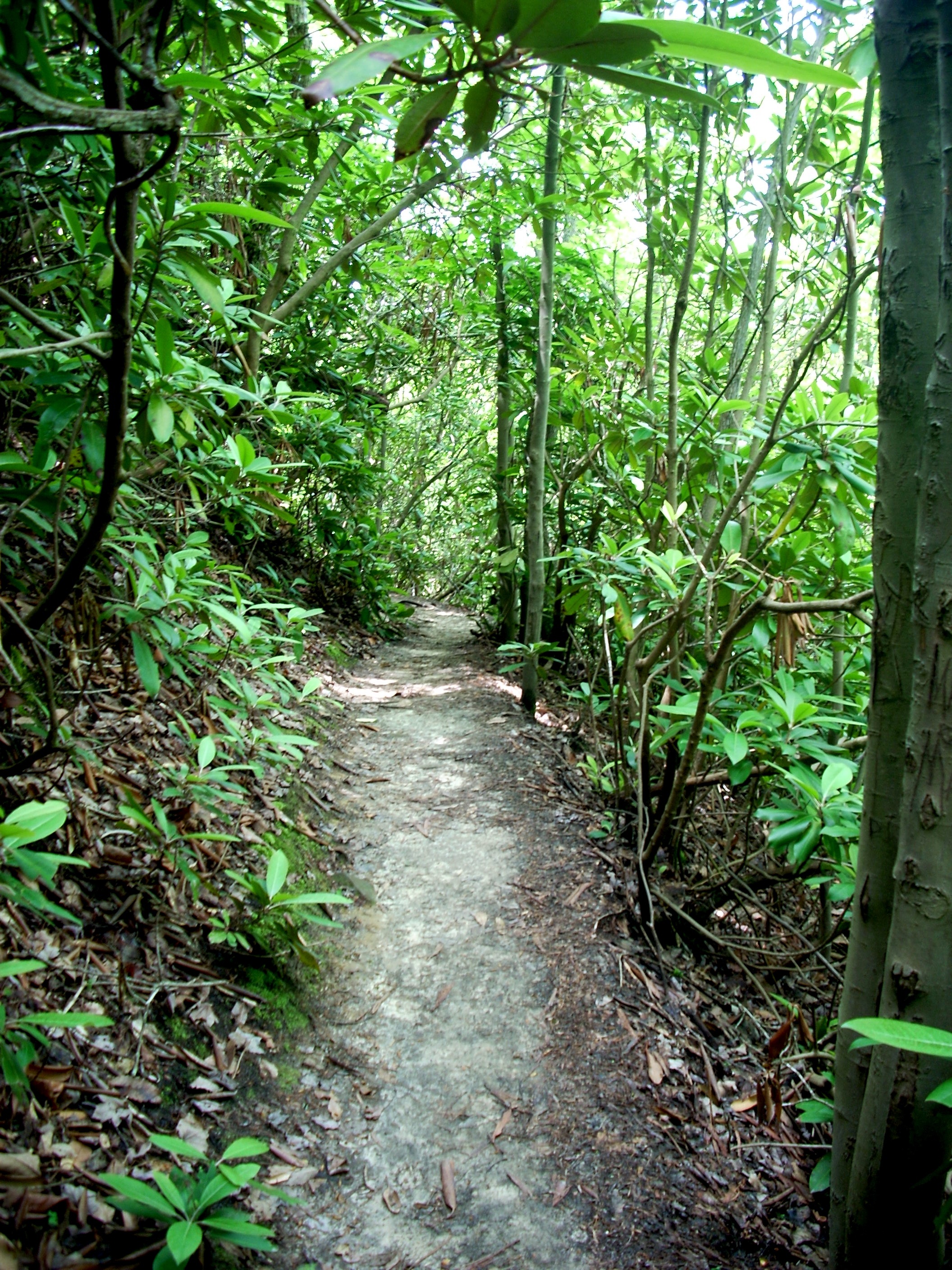 |
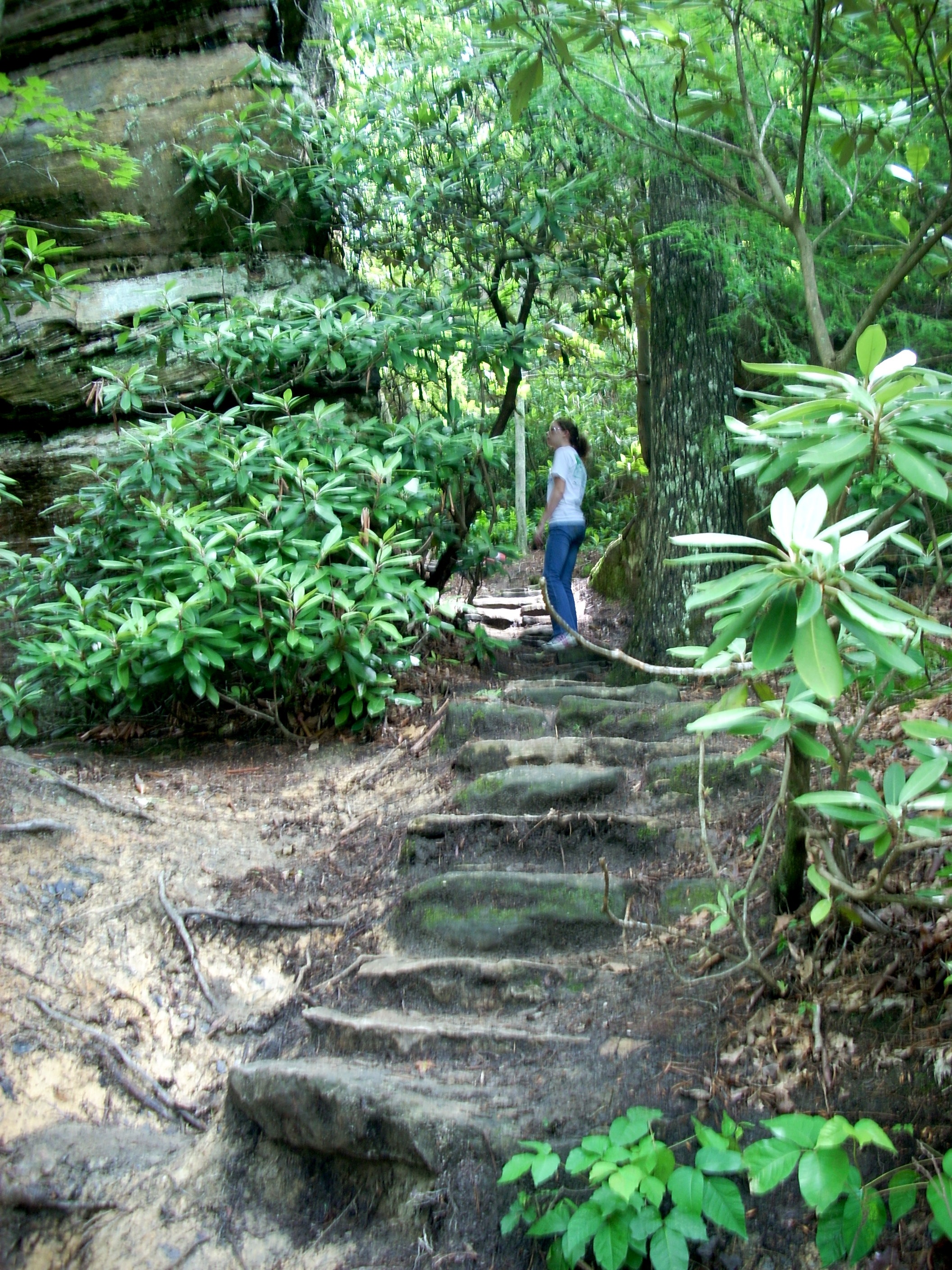
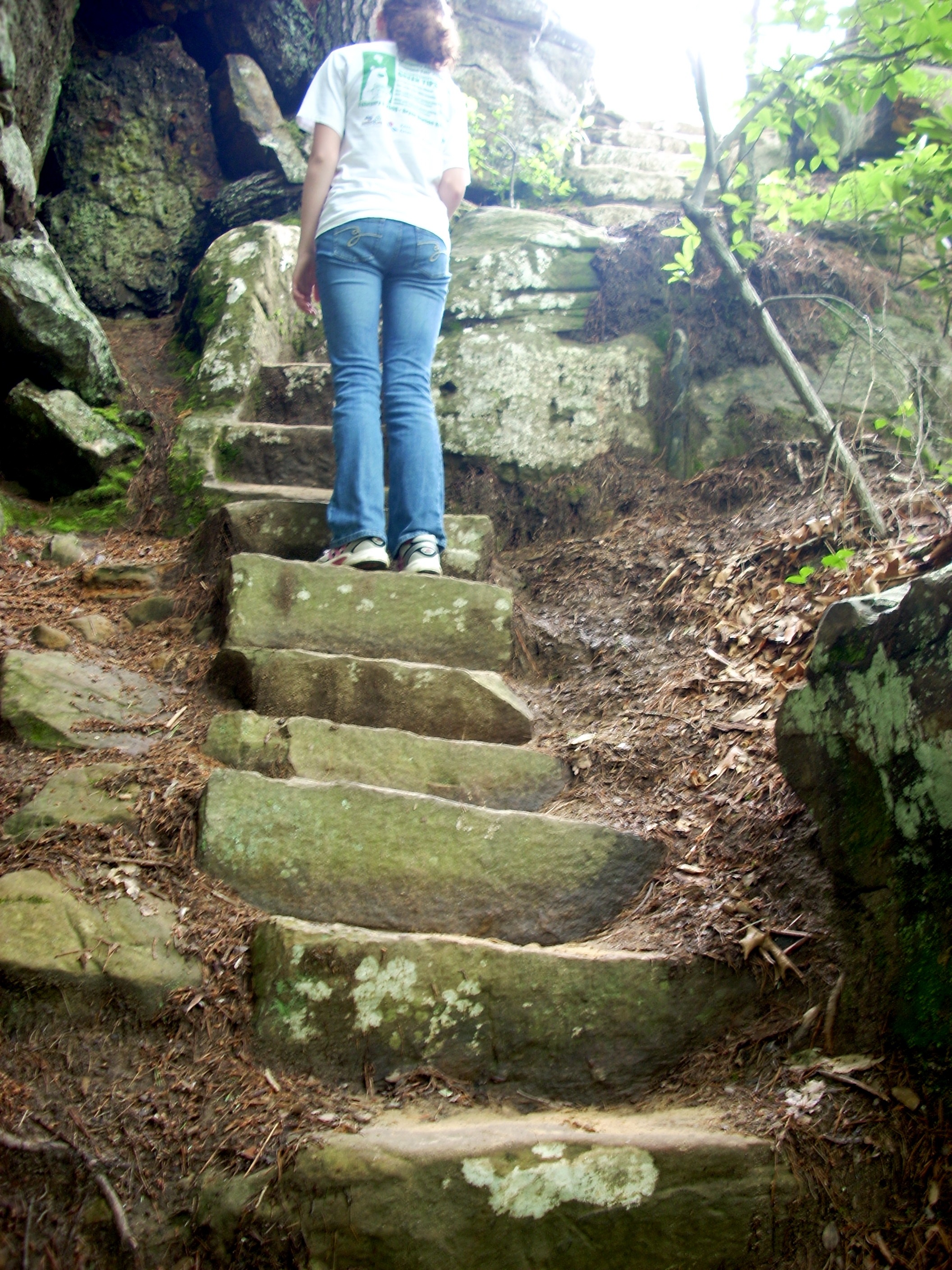
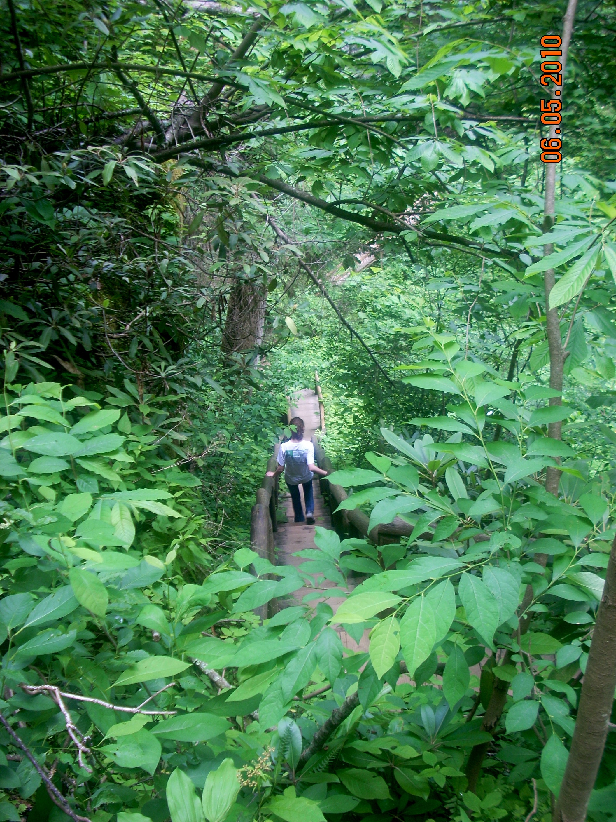
Once you reach the top, you hike the rest of the way to the Bridge through Rhododendron tunnels as seen at left. Rhododendron grow naturally in most of the Appalachians, but the Red River Gorge is their home ground and they grow taller here than anywhere else. This ridge is not their ideal habitat, and they do not reach the size they do several miles away in the deep Gorge, but they do grow pretty impressive here and add a special touch to the hike. Since they remain green year round, the trail remains very photogenic even in mid Winter. Mountain Laurel mixes with the Rhododendron and in May their flowers enliven the trail.
Through breaks in the foliage, you can look South over Hoods Valley to the distant Sand Gap. Trails wind through those remote areas, but 90% of the people visiting Natural Bridge see only the northern 10% of its land.
The birds you see riding the thermal currents out over the valley are usually Red Tailed Hawks, but if you see several birds together circling over a common point, they are Turkey Vultures eyeing a dead animal down below. Red Tailed Hawks fly alone. From this point on the trail, you are more likely to see the hawks in the air to your right. They glide along scanning the open ground below for mice, rabbits, squirrels, groundhogs, or other small game. The terrain directly in front of you and to your left is heavily wooded, so there is no open ground for the hawks to scan. You may occasionally see hawks over the forest, but they are in transit from one place to another, not scouting for prey. Turkey Vultures are also more likely seen over open ground, although they will occasionally spot dead or dying animals on the rocky outcroppings. |
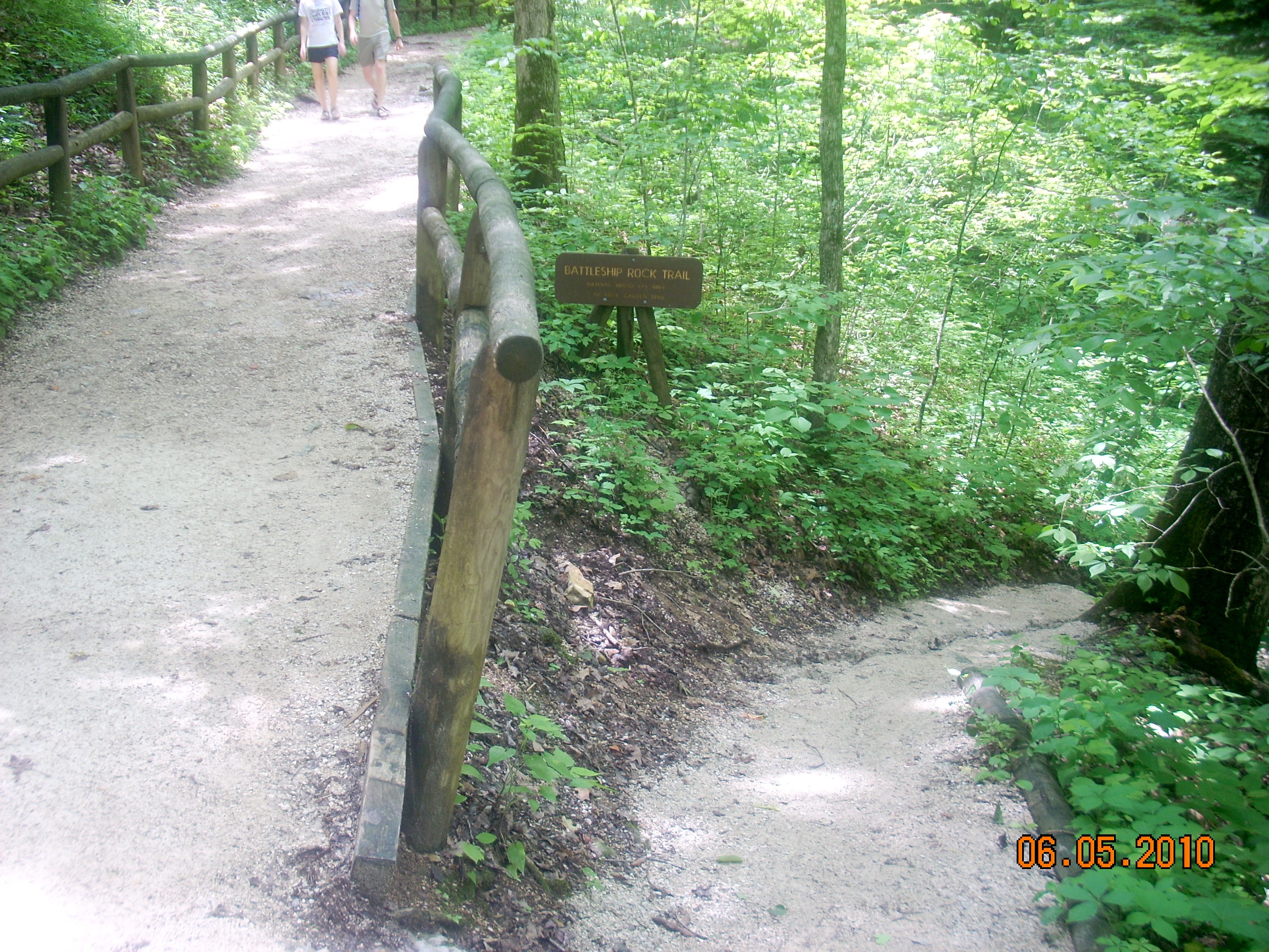
After your lunch break at Natural Bridge, you'll start back down along this cliff face on Battleship Rock Trail. This trail is falsely named. It does not lead to Battleship Rock. It runs BELOW Battleship Rock so you can look up at it. But it's a spectacular trail nonetheless. It's not as strenuous as the Garden trail, since it's downhill the whole way. But all that downhill can be tough on the knees, and you do have to take care not to fall. |
 |
 |
This beautiful natural rock shelter was once the home of an Adena chief, according to archaeologists. It is also an example of how the land has changed over the years. When the Adena lived here, the floor of this shelter was perfectly level all the way to the back. Today, the floor has been eroded and has a gradual but steady slope, so it would not be nearly as pleasant a home. The Adena were a peaceful agricultural tribe that retreated into the Gorge to avoid continual confrontation with the Shawnee and other more militant rivals. They would station lookouts on the ridges while the women and children worked the fields on the valley floors far below. If the sentries detected anyone approaching in the distance, they would use smoke signals. Down in the fields, one reliable child would be assigned to just sit and watch the ridge. If they saw smoke signals, they would sound the alert and everyone take their tools and retreat to the cliffs. The Adena raised corn, squash, beans, pumpkins, carrots, peppers, onions, tomatoes and sunflowers, although their crops were slightly different from the hybridized versions we use today. The larger streams in this area supported catfish, perch and bass. Deer were plentiful and provided both food and clothing. |
| This staircase is a lot more enjoyable going down than coming up. As you can tell by peering into the trees, it extends far down the hillside. The Park Service maintains these trails with their railings and steps but with recent government cutbacks funds have been harder to come by to hire men and buy materials. Volunteer groups, including Boy Scouts, schools and the Sierra Club, have become more important. If you would like to volunteer personally or can talk an organization you belong to into volunteering, stop by the visitor center on the way out. They'll be happy to talk to you. |
|
 |
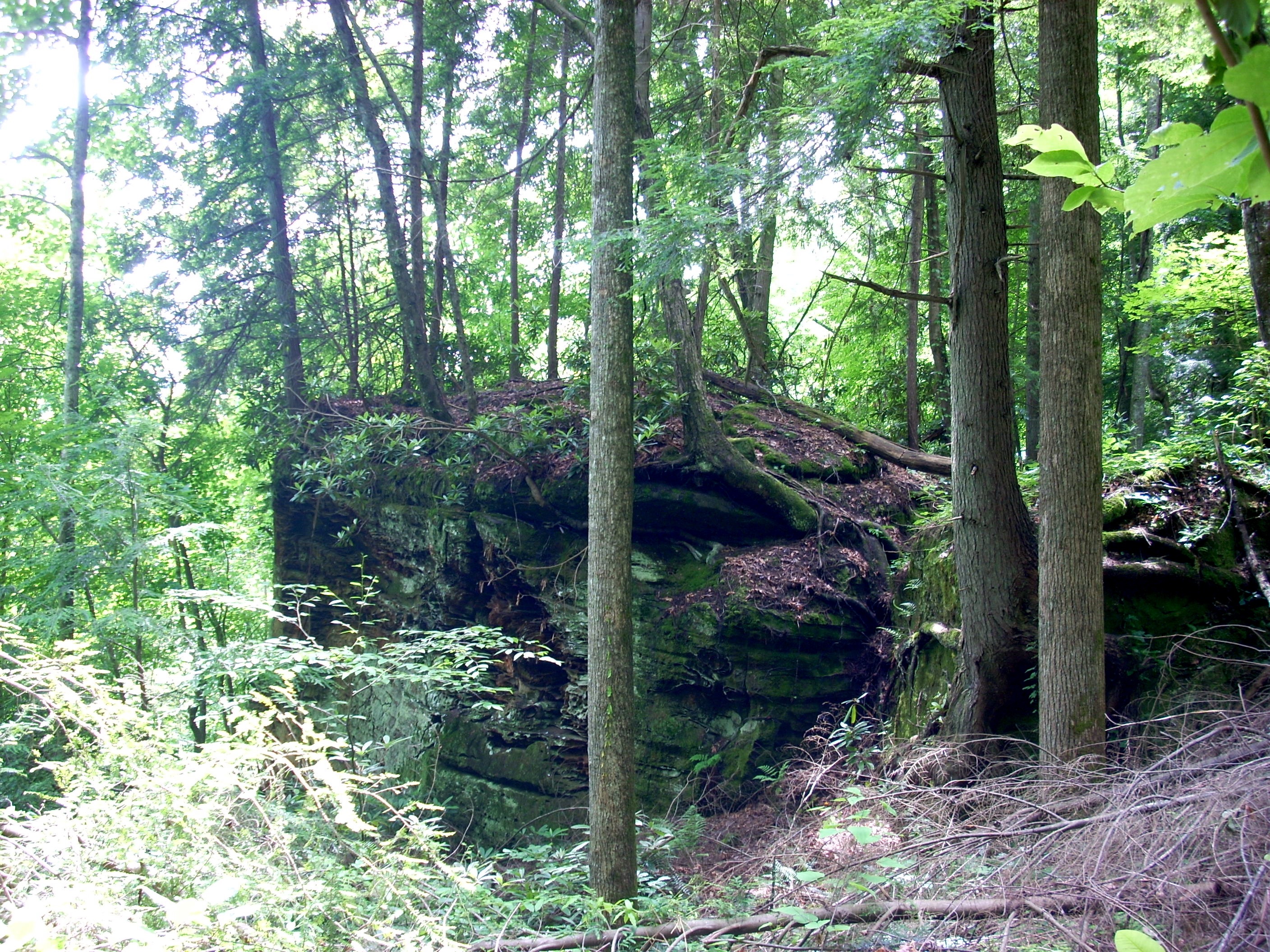
This is Battleship Rock from the bottom. Most postcard views of Natural Bridge are taken from the point up there. There are a lot of branches and some whole trees down in this section of the trail, lefrt over from the ice storm of 2010. The trail has been cleared but the debris remains off to the side. It needs to be totally removed, not only because it causes visual clutter on the forest floor, but because come Fall it will present a fire hazard. |
| This is the famous Devils Gulch Stairway, an absolutely amazing construction project that threads its way up through a cleft in the cliff. This staircase connects up on top with the Lovers Leap Trail. Once on top, you could turn left and hike to the Battleship Rock overlook. An ice storm in January 2010 took out sections of this staircase and as of June 2010 this route was still closed. The Park Service is awaiting appropriations from the State Legislature in Frankfort. A volunteer crew could do the work but it would need to be adults trained and esperienced in construction. This is maintenance well beyond the typical trail crew. |
 |
 |
This is The Canopy, another spectacular section of the Battleship Rock Trail. The trail comes off a ledge to the treetops of the trees growing up from the valley below. A narrow "hanging staircase" descends through the canopy to another rock ledge, where you then cross a bridge over a final rock cut to solid and reasonably level ground. If you bring a flashlight with you to help getting back to the lodge, this is an incredible place to come in late evening and sit on the stairs as darkness falls. It's a bird watcher's paradise and is especially good for Whippoorwills. Descending this staircase is an especially beautiful experience in Spring and Fall. In the Winter it's pretty hairy and in the Summer it's usually hot and humid. But when all the leaves are in their October display, you descend through a fireworks display of colors.
|
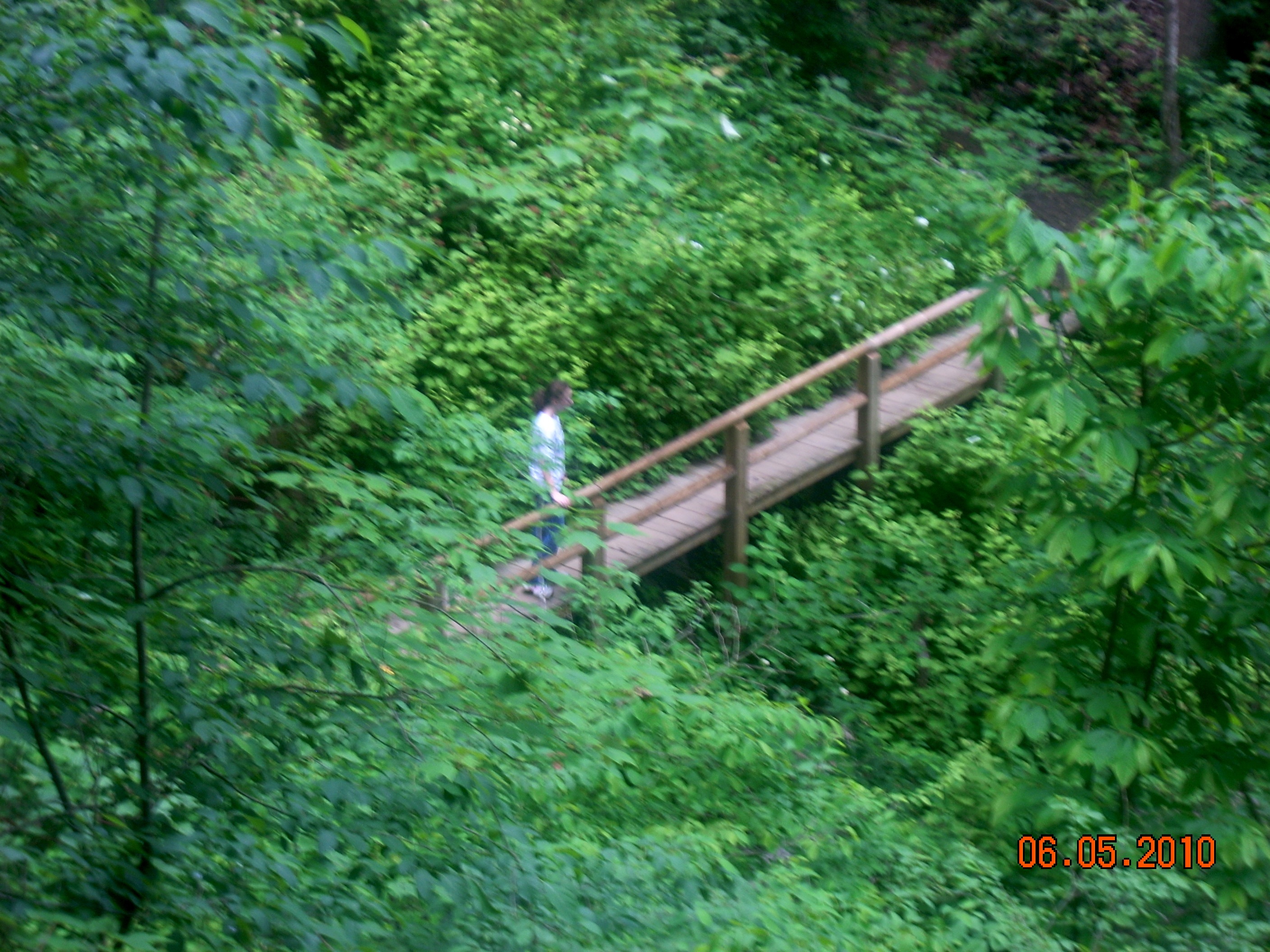
| As soon as you cross the bridge at the bottom of this hanging staircase, a short downhill walk brings you back to that trail intersection shown at the beginning. It is thus a perfect loop. |
 |
|